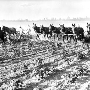
 Cultivating Cotton
 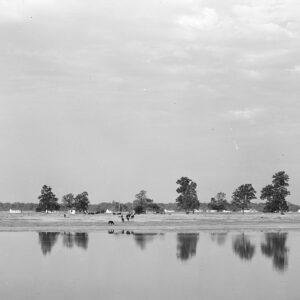 Lake Dick
 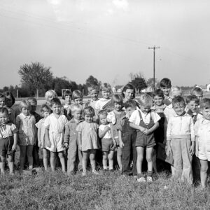 Lake Dick Children
 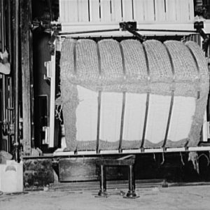 Lake Dick Cotton Baler
 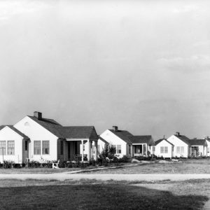 Lake Dick Housing
  Lake Dick Kitchen
 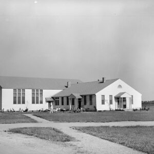 Lake Dick School and Community Center
501-918-3025
calsfoundation@cals.org
calsfoundation@cals.org
The area of Lake Dick, a U-shaped oxbow lake in Jefferson County, was the site of a New Deal program in agriculture during the first administration of President Franklin D. Roosevelt. The experiment involved the “resettlement” of struggling urban and farm families. How the lake got its name has been a source of speculation.
Located one mile west of Arkansas Highway 88 and four miles south of Altheimer (Jefferson County), Lake Dick was at one time the site of farmsteads for some eighty white families who had been moved into the area. In 1936, the Resettlement Administration—later to be made a part of the Farm Security Administration—acquired 3,453 acres of farmland in Jefferson County with the twin goals of establishing a cooperative community of farmers, and assisting sharecroppers and tenant farmers to become independent landowners. The land was then leased to the newly formed Lake Dick Cooperative Association. Each family owned an equal share in the association, which conducted the farming operation and managed the association’s cooperative services, such as the general store.
After the onset of World War II, it was increasingly difficult to justify the economic function of the Farm Security Administration, which was dissolved by Congress in 1943. The Lake Dick Cooperative Association was finally dissolved in 1945, and the land was sold and returned to private use. Lake Dick was put on the National Register of Historic Places on July 3, 1975.
For additional information:
“Lake Dick.” National Register of Historic Places nomination form, 1975. On file at Arkansas Historic Preservation Program, Little Rock, Arkansas.
Leslie, James W. Pine Bluff and Jefferson County: A Pictorial History. Virginia Beach, VA: The Donning Company, 1981.
Wallis, Ernestine.“Lake Dick and Plum Bayou New Deal Projects in Jefferson County.” Jefferson County Historical Quarterly 41 (March 2013): 29–35.
Bill Norman
Little Rock, Arkansas


Comments
No comments on this entry yet.