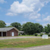
 Assemblies of God
 Baptists
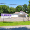 Church of God in Christ (COGIC)
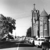 Methodists
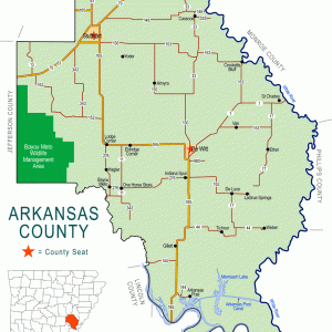 Arkansas County Map
 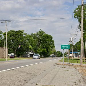 Humphrey
 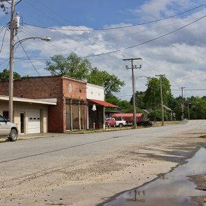 Humphrey
 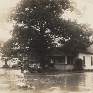 Humphrey Flood
 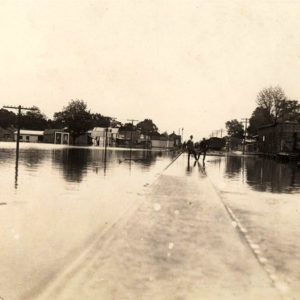 Humphrey Flood
 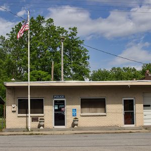 Humphrey Police Dept.
 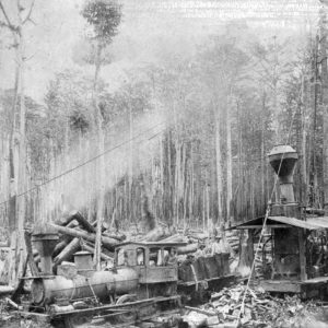 Humphrey Sawmill
 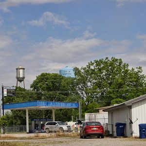 Humphrey Water Towers
 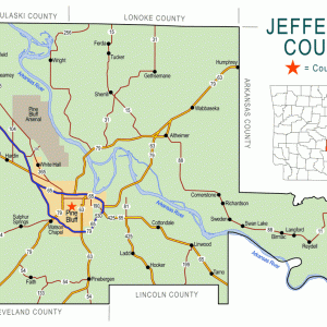 Jefferson County Map
501-918-3025
calsfoundation@cals.org
calsfoundation@cals.org
| Latitude and Longitude: | 34º25’19″N 091º42’22″W |
| Elevation: | 190 feet |
| Area: | 1.31 square miles (2020 Census) |
| Population: | 463 (2020 Census) |
| Incorporation Date: | April 19, 1905 |
Historical Population as per the U.S. Census:
|
1810 |
1820 |
1830 |
1840 |
1850 |
1860 |
1870 |
1880 |
1890 |
1900 |
|
– |
– |
– |
– |
– |
– |
– |
– |
– |
– |
|
1910 |
1920 |
1930 |
1940 |
1950 |
1960 |
1970 |
1980 |
1990 |
2000 |
|
380 |
554 |
595 |
695 |
629 |
649 |
818 |
872 |
743 |
806 |
|
2010 |
2020 |
|
|
|
|
|
|
|
|
|
557 |
463 |
|
|
|
|
|
|
|
|
Humphrey is one of the few cities in Arkansas to exist in two counties. A second-class city located on the county line between Jefferson County and Arkansas County, it appears on the census records for both counties. Before its consolidation with DeWitt (Arkansas County) in 2004, the Humphrey school district also included students from both counties.
The land that now is Humphrey was a farm belonging to William D. Anthony in 1882 when the St. Louis Southwestern Railway (the Cotton Belt) surveyed the area for its line running between Stuttgart (Arkansas County) and Pine Bluff (Jefferson County). The rail stop, which quickly became a settlement, was named for the railway surveyor. The first school classes in Humphrey were held in Anthony’s cotton gin stall in the summer of 1885; the first school building was constructed in the vicinity of Beaver Pond. The first schoolteacher in Humphrey was Willie Hocker, who later designed the official state flag, approved in 1913.
The city of Humphrey was incorporated on April 19, 1905. A school building in the city, which would later be known as Old Main, was built in 1911. Ten years later, Humphrey was advertised as a little city with good schools, good churches, and happy homes. It promoted its timber and cotton industry, as well as its location on the railroad and its electric lights. The city had the Merchants and Planters bank, the City Café, and seven stores. In 1931, Humphrey achieved fame for having a ballot for city elections containing only women as candidates for city offices. When the election was held, though, the names of male candidates were written on enough ballots that the nominated women lost all seven posts (for mayor, recorder, and for alderman positions).
A school for African Americans had existed in Humphrey as early as 1920. Around 1940, a Rosenwald school was opened in the city. Smaller school districts merged with the Humphrey school district: Cutoff (Arkansas County) in 1939, and both Alcorn (Arkansas County) and Vallier (Arkansas County) in 1951. A new elementary school and a new wing to the high school were dedicated in 1963. The Humphrey School District was desegregated in 1966. In 2004, the school district was consolidated with the DeWitt school system, which closed the high school in 2006. Humphrey citizens then created an open-enrollment charter school in 2008.
The city also has several churches and businesses. Located on Highway 79, it sits just a few miles north of the Bayou Meto Wildlife Management Area.
For additional information:
Houghton, Vicki, and Jackie Ryan. “History of Humphrey, Arkansas.” Grand Prairie Historical Bulletin 57 (April 2014): 18–35.
“Humphrey in May of 1921.” Grand Prairie Historical Society Bulletin 27, nos. 3/4 (1984): 22.
“Humphrey Schools, 1885–1987.” Grand Prairie Historical Society Bulletin 34, nos. 1/2 (1991): 48–56.
Kreimeier, Leigh. “Humphrey School Seeks Help.” Stuttgart Daily Leader, March 30, 2010.
“Women Lose in Humphrey Election.” Grand Prairie Historical Society Bulletin 29, nos. 3/4 (1986): 54.
Steven Teske
CALS Encyclopedia of Arkansas


Comments
No comments on this entry yet.