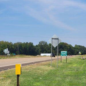
 Entering Caldwell
 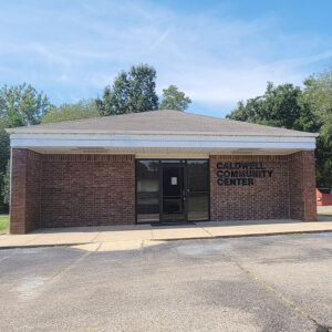 Caldwell Community Center
 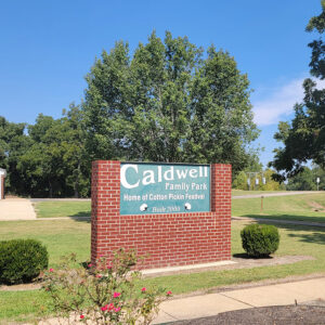 Caldwell Family Park
 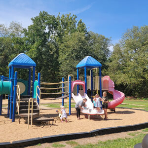 Caldwell Family Park
 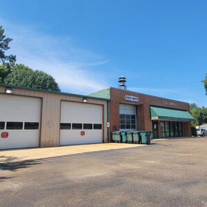 Caldwell Fire Department
 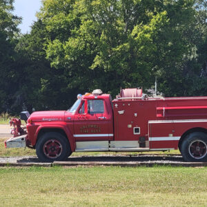 Caldwell Fire Engine
 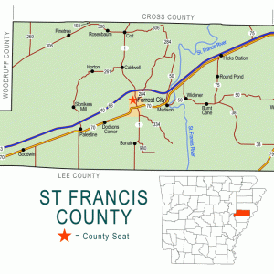 St. Francis County Map
501-918-3025
calsfoundation@cals.org
calsfoundation@cals.org
| Latitude and Longitude: | 35°04’28″N 090°49’00″W |
| Elevation: | 239 feet |
| Area: | 3.19 square miles (2020 Census) |
| Population: | 451 (2020 Census) |
| Incorporation Date: | April 3, 1964 |
Historical Population as per the U.S. Census:
| 1810 | 1820 | 1830 | 1840 | 1850 | 1860 | 1870 | 1880 | 1890 | 1900 |
| – | – | – | – | – | – | – | – | – | – |
| 1910 | 1920 | 1930 | 1940 | 1950 | 1960 | 1970 | 1980 | 1990 | 2000 |
| – | – | – | – | – | – | – | – | 334 | 465 |
| 2010 | 2020 | ||||||||
| 555 | 451 |
Caldwell is a city on Crowley’s Ridge, a few miles north of Forrest City (St. Francis County). Located on the Union Pacific Railroad and on State Highway 1, Caldwell has long been an agricultural center for the region but is now predominately a bedroom community for Forrest City.
Many early settlers of Arkansas gravitated to Crowley’s Ridge, especially with the improvement of the Military Road in 1830s. St. Francis County had already been established in 1827, populated with settlers who had moved west from Tennessee and Kentucky. The settlement of Caldwell did not appear on maps until after the Civil War, when railroad construction increased in Arkansas.
The St. Louis, Iron Mountain and Southern Railway was incorporated in June 1874 with plans to link major cities of Arkansas with other locations outside the state’s boundaries. One of the railway lines followed the course of Crowley’s Ridge to link Knobel (Clay County), which is located near the Missouri state line, with Helena (Phillips County) on the Mississippi River. Passing through Paragould (Greene County) and Wynne (Cross County), the line through Forrest City was completed in July 1882. A depot at the location that is now Caldwell was built around this time. A post office was established at this location in 1887 and was named for postmaster Thomas B. Caldwell, who may be the son of settler William Caldwell, who purchased land on Crowley’s Ridge in 1861. The St. Louis, Iron Mountain and Southern became part of the Missouri Pacific Railroad in June 1917, which in turn was acquired by the Union Pacific Railroad in 1982.
A Baptist church was established in Caldwell in 1900. The unincorporated community, which also had a cotton gin and a sawmill, grew slowly. By 1918, roads were being built to connect the cities and towns of Arkansas for vehicular traffic. Highway B-1, running out of Forrest City to the north, crossed through Caldwell on its way to Wynne and other cities to the north. A bridge built for that road, the Little Telico Creek Bridge, was placed on the National Register of Historic Places in 2009. By 1954, Caldwell was noted for the Lindsey Mercantile Store and the Lindsey Gin Company. By this time, the forty-four school districts of St. Francis County had been consolidated into five school districts; Caldwell’s children were included in the Forrest City school district.
Caldwell remained unincorporated until 1964, when citizens elected to incorporate in order to provide city services such as water and sewage lines and paved streets and sidewalks. The population has grown steadily since the community incorporated, with many of the residents working in Forrest City. There are a few small businesses and enterprises in Caldwell, including First Missionary Baptist Church and the post office. The population of Caldwell in 2010 was 555, including 443 white residents, eighty-one African Americans, and thirty-four Hispanic residents.
For additional information:
Chowning, Robert W. History of St. Francis County, Arkansas, 1954: A Narrative Historical Edition Preserving the Record of the Growth and Development of St. Francis County, Arkansas, and Chronicling the Genealogical and Memorial Records of its Prominent Families and Personages. Forrest City, AR: Times-Herald Publishing Company, 1954.
“Highway B-1 Little Telico Creek Bridge.” National Register of Historic Places nomination form. On file at Arkansas Historic Preservation Program, Little Rock, Arkansas. Online at http://www.arkansaspreservation.com/historic-properties/_search_nomination_popup.aspx?id=2468 (accessed October 14, 2021).
Steven Teske
Butler Center for Arkansas Studies


Comments
No comments on this entry yet.